Rethinking Rural Mapping
Stratigraphica delivers interactive mapping and geospatial tools tailored to local governments, land use planners, and smallholders. We make overlooked data visible — broadband deserts, service gaps, and planning inequality.
Mapping Access, Inequality, and Opportunity in Rural Britain
Explore ResourcesStratigraphica delivers interactive mapping and geospatial tools tailored to local governments, land use planners, and smallholders. We make overlooked data visible — broadband deserts, service gaps, and planning inequality.
Stratigraphica is a digital mapping platform helping local governments, researchers, and communities understand rural inequality through geospatial tools. We make public data clear, beautiful, and useful — from broadband access and planning to land use and transport.
Get new mapping insights, tools, and rural planning updates straight to your inbox. No spam — just clarity.
Broadband coverage, public services, and rural infrastructure gaps.
Visual tools and reports to support planners, smallholders, and local strategies.
Downloadable datasets, interactive dashboards, and visual story maps.
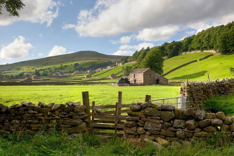
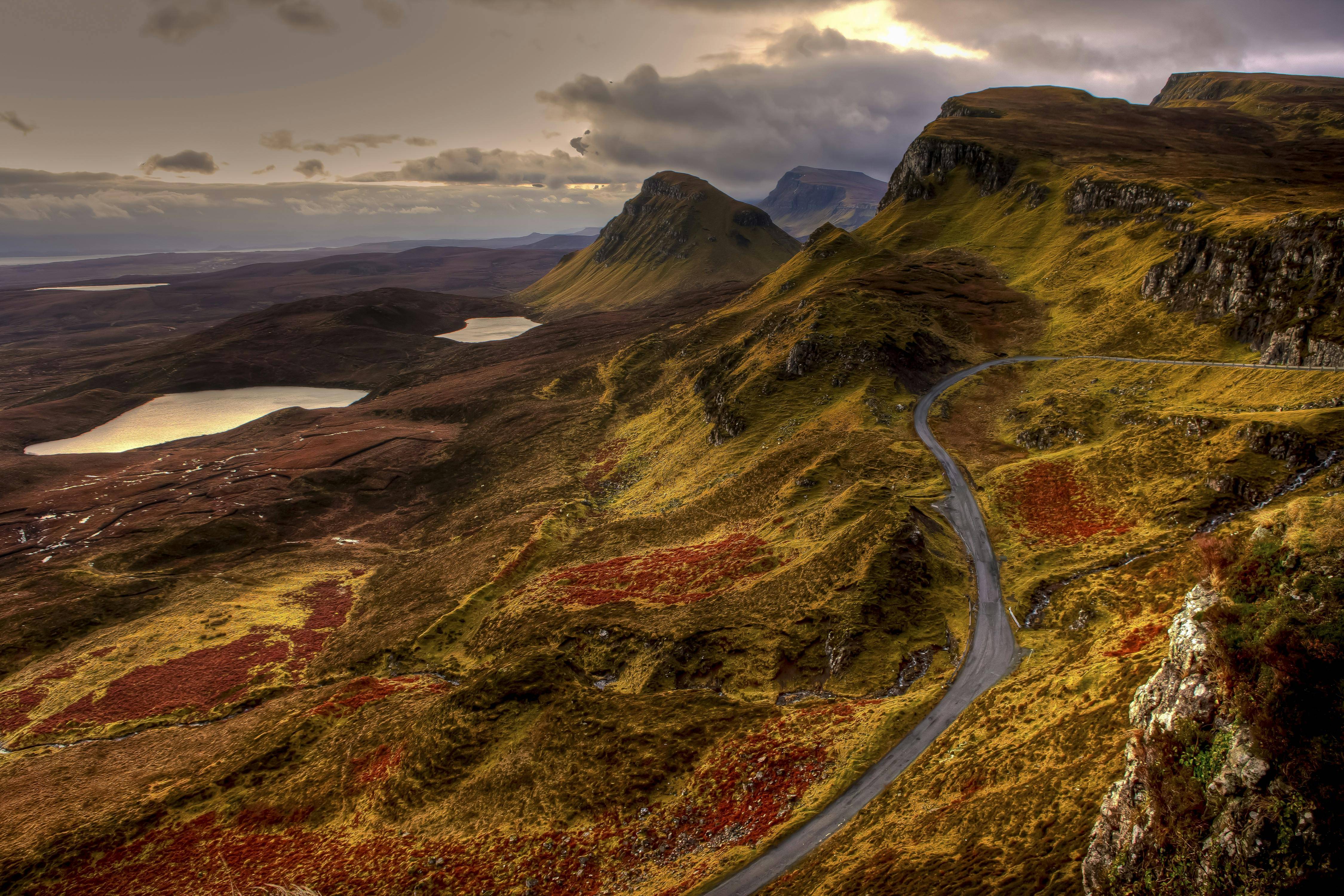
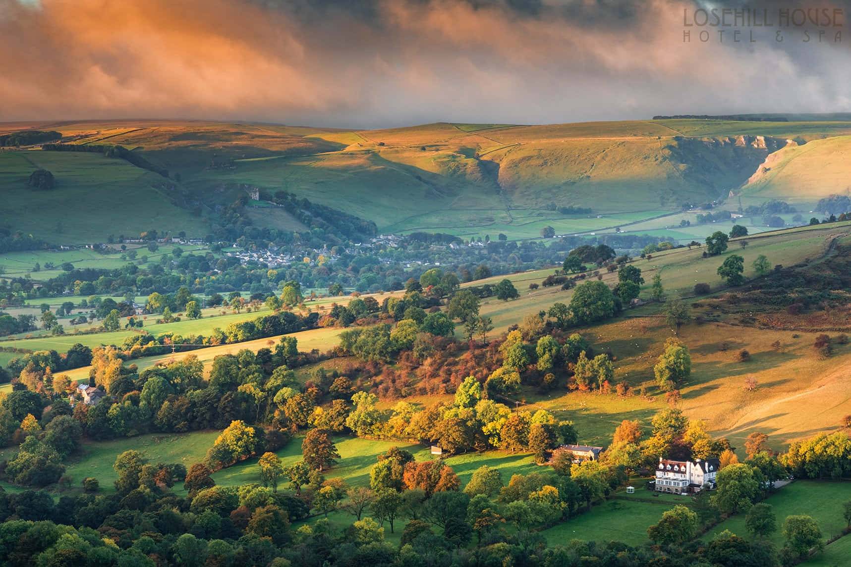
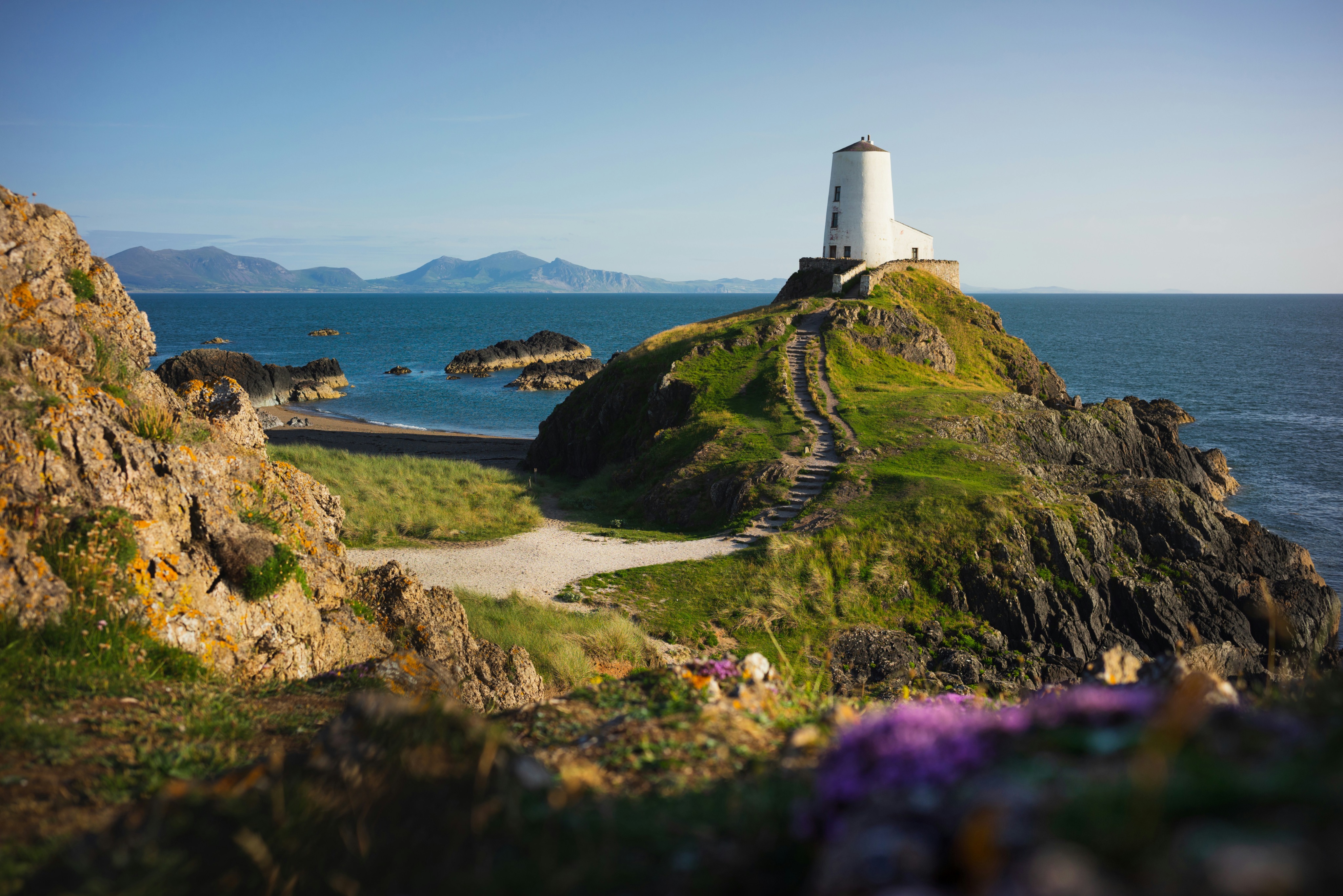
This map shows an example of how rural data can be visualised and explored.